Nov 27 2019
Hardware

Agencies Fly Drones to Survey Post-Disaster Damage

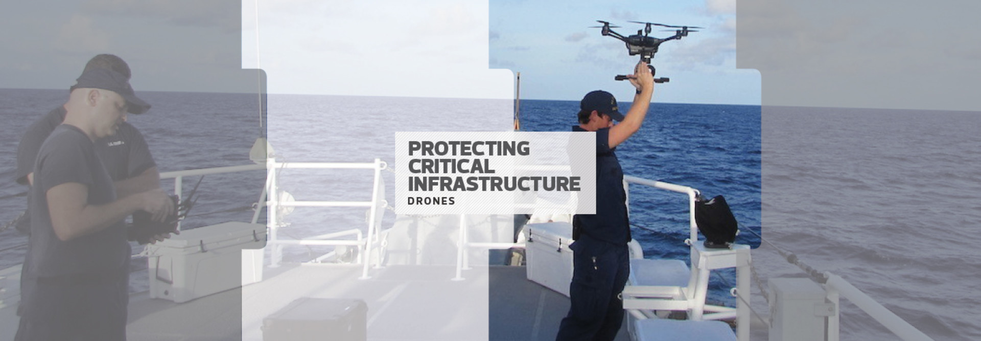
Federal, state and local authorities collaborate to assess critical infrastructure with drones after storms and other emergencies.

At all levels of government, agencies are rapidly diversifying their drone programs to help meet increasing citizen demand for up-to-date information and assessment, particularly after a natural disaster.

Drones offer a way to elevate operational impact within existing budgets. And technological advancements — such as smaller, lighter drones that don’t need Federal Aviation Administration approval and employ enhanced AI algorithms — are leading federal, state and municipal-level agencies to use drones to address potential infrastructure attack vectors, assess emergency response and analyze traffic and weather patterns.

The FAA has made it simpler for agencies to use drones to assess the aftermath of emergencies. It has created an expedited approval process for first responders and other emergency personnel who want to use drones during disaster situations, allowing them to fly in situations that are not normally permitted under FAA regulations.

READ MORE ON STATETECH: For Critical Infrastructure Security and Resilience Month, StateTech and FedTech explore how agencies collaborate via technology to protect infrastructure.

How Federal, State and City Drone Programs Work

The Defense Logistics Agency earlier this year put out a request for information on unmanned aircraft systems (UAS) that could be used to help “deliver food and water to people in remote areas following a disaster,” according to a report in Rotor & Wing International. 

“Payloads on the UAS will weigh between 250 and 500 pounds and ‘typically’ consist of cases of bottled water, ready-to-eat meals, and other related operational items that will be released remotely without damage to the supplies,” reports Rotor & Wing.

The federal drone efforts dovetail with programs on the state and local level, where first responders are launching drone programs to improve emergency outcomes. For example, the Lafayette (Ind.) Fire Department uses three drones to enhance safety during hazardous material response and increase the efficiency of search and rescue operations.

Powerful cameras on the department’s DJI Matrices can zoom in on text up to 1 mile away, letting first responders identify, for example, hazardous material containers at a safe distance after vehicle crashes or during commercial fires. In addition, thermal imaging can scan for heat signatures during search and rescue efforts.

In larger cities such as New York, police departments now use drones to conduct collision and crime-scene documentation, monitor traffic and assess primary and perimeter locations during hostage situations. Waterfront communities such as Ocean Shores, Wash., use drones to spot distressed swimmers and deliver life jackets until the Coast Guard can get there.

Drones Keep an Eye on Infrastructure

The North Carolina Department of Transportation uses a dozen drones to help identify potential infrastructure concerns. “Drones are great for picking out rusted rivets or sinkholes,” says James Pearce, the department’s communications officer. 

Drones do have some limitations — Pearce notes that even a light drizzle and 20 mph winds can ground the airborne assessors — but they were widely used in North Carolina after Hurricane Florence in 2018 and Dorian in 2019, flying more than 200 missions and capturing more than 8,000 pictures. 

Although clearing skies and mild weather gave the impression of stable infrastructure, post-hurricane flooding was a significant concern both times, with swollen rivers spilling into towns and onto highways. Drones recorded the situation in progress, giving the North Carolina officials information they used to help keep residents safe.

There are security concerns connected to the use of drones. Recently, the Defense Department cosponsored a Drone Venture Day with Texas A&M University, looking to increase interest in domestic drone production; most drones sold in the U.S. are made in China, and defense officials fear the potential for hacking.

“We don't have much of a small-UAS industrial base,” said Ellen Lord, undersecretary of defense for acquisition and sustainment, at an August news conference. “Small UAS are important to us, so we want to rebuild that capability.”

MORE FROM FEDTECH: See how USDA, Interior and other agencies use drones in nonemergency situations.

DHS Sees Benefits and Dangers in Drones

The Department of Homeland Security and the FAA are also concerned with the damage that a drone can do. As drone technology has become more affordable and accessible, the number of unauthorized drone flights has increased, the FAA says, with about 100 reported every month. 

The Cybersecurity and Infrastructure Security Agency says that most drone-related threats come from people who aren’t fully aware of the laws restricting where drones can fly, but that there is always the risk that the technology will be used for malicious purposes.

“Because of their physical and operational characteristics, UAS can often evade detection and create challenges for the critical infrastructure community,” the agency says on its website.

To help combat this threat, CISA is using drones bought from a U.S. manufacturer to simulate attacks on critical infrastructure and then recording the results for debrief and analysis, reports NextGov

“Given their retail availability here in the United States, UAS will be used to facilitate an attack against a vulnerable target such as a mass gathering,” Brian Harrell, the CISA assistant director for infrastructure security, said, quoting the FBI, at a conference in Arlington, Va., in August. “It’s important that we not kick this can down the road.”

U.S. Coast Guard District 7

More On

Close

Become an Insider

Unlock white papers, personalized recommendations and other premium content for an in-depth look at evolving IT